Our Data and Tools for Planning team has recently coordinated and released a site atlas for the research sites in East Africa, West Africa and South Asia.
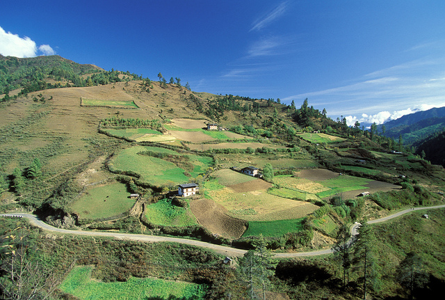
The recently released atlases add to the growing suite of documents that provide background information on the CGIAR Research Program on Climate Change, Agriculture and Food Security (CCAFS) research sites. Each site atlas contains a variety of maps illustrating climate variability, bio-physical characteristics and socio-economic variables.
Orginal post by Jusper Kiplimo, Koert Sijmons, and Laura Cramer.

