LIMA
PERU
6 - 7 DEC

Headlines
-
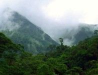
The audience has spoken – Peruvian landscape photo wins online voting in GLF 2014 competition
-
GLF brings “fusion of disciplines” at turning point for climate and development, says CIFOR’s DG
-
Thomson Reuters Foundation highlights Global Landscapes Forum
-
2014 Global Landscapes Forum : 2 days, 1,700 people, 9 key messages
Presentations

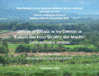
2014 Global Landscapes Forum - Key topics and discussions
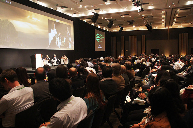
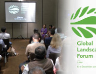
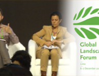
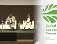
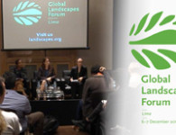
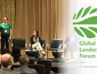
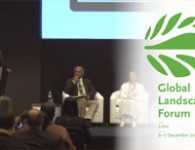
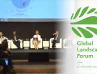
The 2014 Global Landscapes Forum was held at the sidelines of the UNFCCC COP20 in Lima. Over two days, the Forum brought together 1,700 participants from across disciplines to identify solutions to the most pressing challenges facing forestry, agriculture and other land use sectors today.
BACKGROUND BRIEFS
Leading up to the Forum, the 17 experts leading the Science Committee compiled briefs that highlight key points of debate, recommendations, open questions and knowledge gaps around the Forum's themes.
View background briefsOUTCOME STATEMENT
95 organizations came together to lead discussions at the 2014 Global Landscapes Forum. These 9 messages form the basis of their recommendations to international climate negotiators.
View outcomes
FINAL REPORT
96% of the participants plan to share, research or apply the new knowledge they gained at the 2014 Global Landscapes Forum. This number and more interesting statistics about the event are compiled in the final report.
View Final reportThe summary statement brings together key messages, quotes and recommendations from the Forum's Civil Society Sessions and Discussion Forums.
Videos


Merging the vision of sustainability – a proactive assignment – with the reactive practice to climate change needs to be a continuous exercise. And it is at the landscape level where theory becomes practice, where this integration happens.

There is a sheer, a huge global deficit today of positive incentives in the land use sector. We have a carrot crisis on our hands. And a positive benefit can be liberating a farmer from bureaucracy. Making it easier to access credit so it takes one month instead of eight.

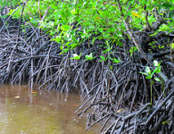
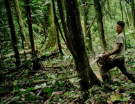
With nearly one third of global Greenhouse Gas (GHG) emissions coming from farming, forestry, and livestock production, achieving sustainable landscapes is critical to climate change mitigation. Sustainable landscapes are also essential for climate change adaptation and for sustainable development in general, as they safeguard and deliver a wide range of social, cultural, environmental, and economic benefits – including water and energy which underpin food security.

We indigenous people see the forest from the inside. So I am part of the forest. You cannot take me out of this landscape. Therefore, social and environmental responsibility has to go much farther than seeing just a tree or just a forest.

Cándido Mezúa Salazar
Chairman of the National Coordinating Body of Indigenous Peoples of Panama
Yes, we do have to produce more food. Yes, we do have to protect the forests—and support the communities that depend on them. We cannot succeed in one of these challenges without succeeding in the other. But it can be done.

Host country partners